Using GIS for Plow Routes
May 10, 2022
Did you know BETA’s GIS program has helped several communities navigate their way through the difficult chore of keeping roads safe for travelers?
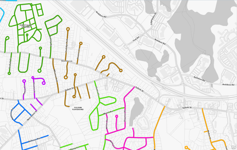
BETA provides GIS tools for snow plow route optimization in several communities throughout New England. This methodology creates maps and summary reports that benefit Departments of Public Works, saving them time and money.
BETA can use existing municipal-wide plow route map data, code it into a GIS program, combine it with truck inventory and characterization details, and output an optimized plan. Communities are provided with individualized maps for each plow route as well as town-wide maps. What’s more, these maps can be the foundation for additional projects such as fall clean-up and debris removal.
For more information on how BETA can help your community this winter, contact Tony Garro at TGarro@BETA-Inc.com