Route 30 Shared Winter Streets & Spaces
Wayland & Natick, Massachusetts
BETA developed the Rt. 30 (Commonwealth Road) Shared Winter Streets and Spaces Project to provide separated bicycle and shared-use lanes designed to improve safety for pedestrians and bicyclists and reduce vehicle speeds along the corridor. The project corridor is approximately 2/3 mile long and is located in both Natick and Wayland, MA. The project links the Cochituate Rail Tail and an office development on the west side with Cochituate State Park and the Snake Brook Trail on the east side.
Route 30 as presently configured is a wide two-way arterial street with wide shoulders and no on-street parking which encourages high traffic speeds. There is no protection for pedestrians or bicyclists. Traffic volumes and speeds are moderate to high along the corridor. Demand for pedestrian and bicycle use along the corridor is moderate to high. Creating a safe linkage between businesses and the Cochituate Rail Trail on the west end with recreational opportunities in Cochituate State Park to the east is a regional objective.
The project was initially developed as a Pilot Project but was ultimately planned as a permanent installation. Coordination between the Towns of Natick and Wayland, MassDOT, and DCR was a critical element of the project.
The Route 30 Separated Bicycle and Shared-Use Lane Project was planned, designed, and implemented during the Fall of 2020 by BETA. Town of Wayland staff led the effort to obtain funding through the MassDOT Shared Winter Streets and Spaces Program while Town of Natick staff led the implementation and construction effort.
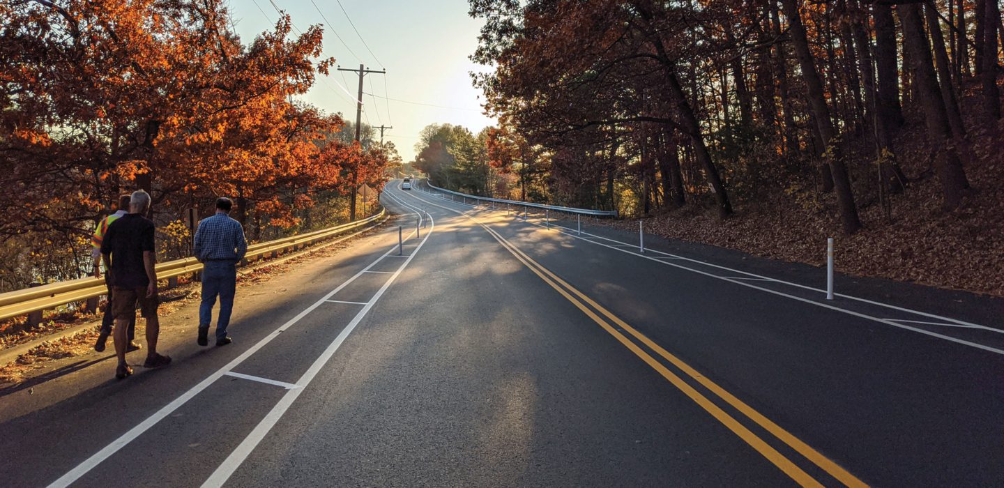
The project included the installation of vertical flex posts within the buffer area between the travel lanes and the separated bicycle and shared-use lanes. The flex-posts were installed with anchor cups that allows them to be screwed into the anchors for the Spring, Summer and Fall seasons, and unscrewed during the winter to allow for snow plowing. Additional actions will include monitoring and recording pedestrian and bicycle volumes along the project corridor and measuring vehicle speeds using video cameras; and maintaining flex posts, pavement markings and signage as needed. The Town of Wayland is studying the feasibility of extending the bicycle and shared-use lanes to connect with Route 27 one-half mile to the east.