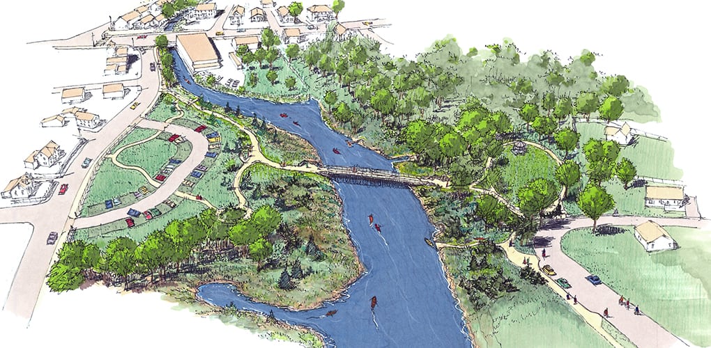
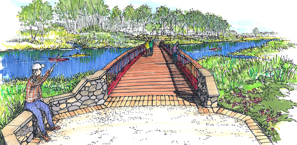
Acushnet River Trail
New Bedford, Acushnet & Fairhaven, Massachusetts
BETA utilized available survey information and satellite photography to produce a series of hand drawn sketches, sketch options, and vignettes that served as an important tool for soliciting direct input from the Southeastern Regional Planning and Economic Development District (SRPEDD), Town Planners in Acushnet and Fairhaven, the City of New Bedford, the Acushnet River Trail Regional Committee and other interested parties. Three high quality graphic presentation “Vision Panels” that can be easily understood by the general public were then created from the sketches to be used by the three municipalities as part of the public outreach and funding process. The final product illustrates a trail system that fully engages the waterfront landscape in a permittable, realistic manner and demonstrates our ability to listen and then graphically communicate the thoughts and ideas on both plan and perspective sketch formats while working with communities to generate conceptual designs that evolve to become public spaces that are safe, durable, and sustainable.