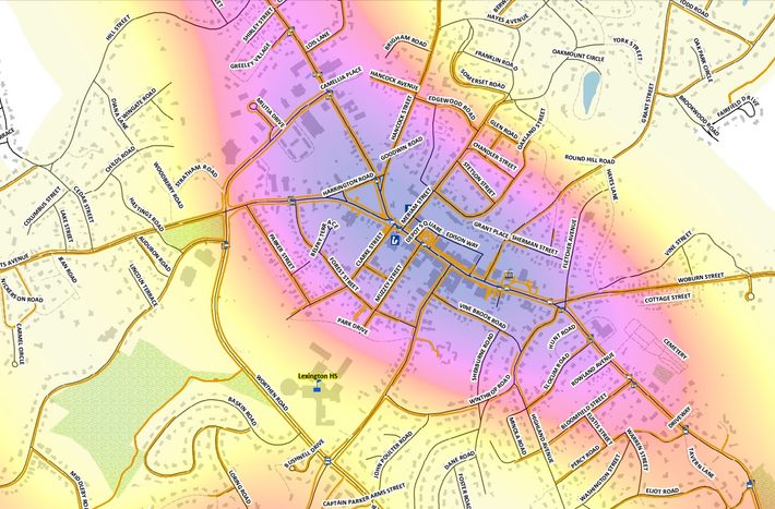
Maps do more than show us where things are. They help us understand how places, infrastructure, and people connect. Through Geographic Information Systems (GIS), communities can turn complex geographic data into meaningful insights that support smarter planning, efficient resource management, and informed decision-making.
At BETA, GIS is an important part of how our multidisciplinary teams approach projects. Our geospatial professionals work alongside engineers, planners, environmental scientists, and other specialists to better understand existing conditions, evaluate options, and develop practical solutions that address community needs.
In celebration of GIS Day, we’re highlighting some of the ways GIS supports our work across New England.
Advancing Accessibility
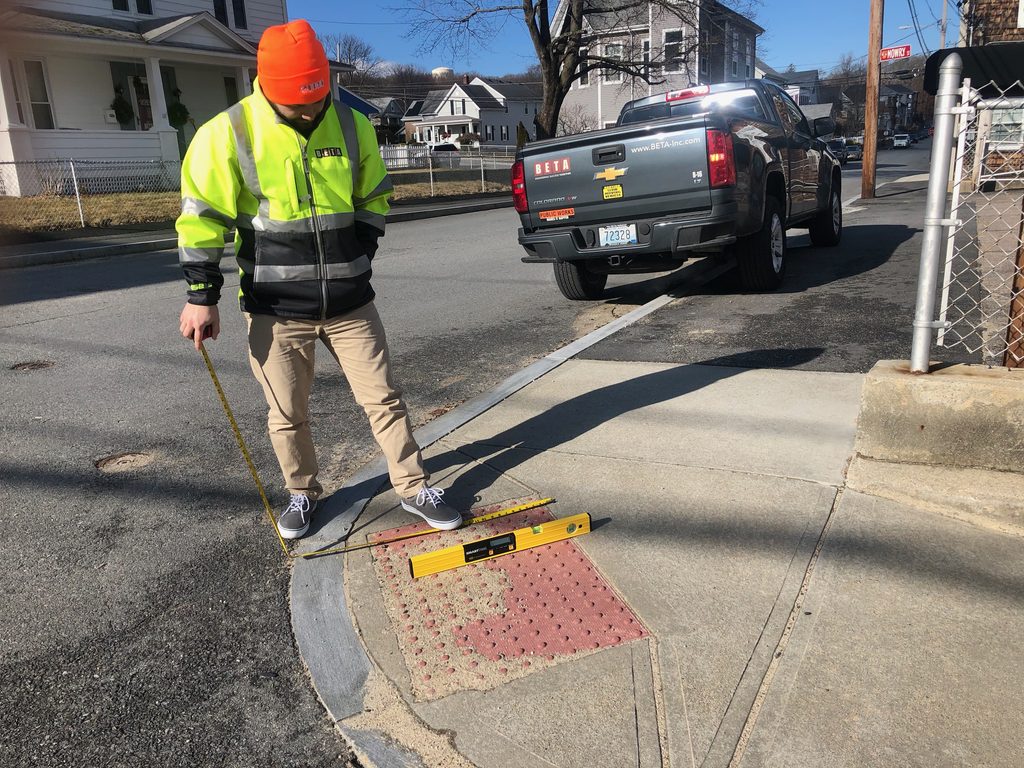
Creating more accessible communities begins with identifying the barriers people encounter every day.
Working alongside BETA’s engineers and planners, our GIS team helps municipalities assess sidewalks, curb ramps, pedestrian crossings, and traffic signals for compliance with the Americans with Disabilities Act (ADA) and Public Right-of-Way Accessibility Guidelines (PROWAG).
By combining field assessments with interactive maps and dashboards, we help communities see where accessibility improvements are needed, understand how those barriers affect pedestrian networks, and develop plans to address them. These tools also make it easier to prioritize projects, track progress, and plan improvements within available budgets.
Improving Transportation and Connectivity
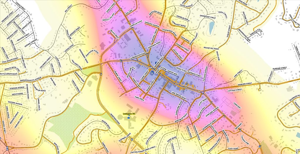
Whether someone is driving to work, biking to school, or walking through their neighborhood, transportation networks play an important role in everyday life. GIS helps BETA’s transportation engineers and planners understand how those networks function and where they can be improved.
By mapping roadway conditions, pedestrian and bicycle facilities, and other transportation infrastructure, our teams can identify gaps in connectivity, evaluate existing conditions, and plan improvements that make travel safer and more efficient.
GIS also supports pavement management and capital improvement planning, giving municipalities a clearer understanding of their infrastructure needs and helping them determine where investments can have the greatest impact.
Protecting Natural Resources
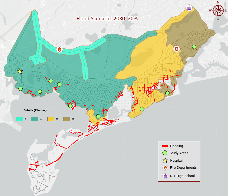
The natural environment doesn’t follow property lines or municipal boundaries. Understanding how wetlands, waterways, vegetation, and developed areas interact is an important part of protecting these resources.
BETA’s environmental scientists use GIS to map sensitive habitats, evaluate site conditions, and support environmental assessments, permitting, and restoration efforts. These tools help our teams understand how proposed improvements may affect surrounding resources and identify opportunities to minimize environmental impacts.
GIS also supports our stormwater management work. By mapping drainage systems, outfalls, and related infrastructure, our engineers can better understand how stormwater moves through a community, identify maintenance needs, and plan improvements that help protect water quality.
By bringing information from multiple disciplines together, GIS helps BETA’s teams see the bigger picture, recognize connections between projects, and develop solutions that consider a community’s infrastructure, environment, and long-term needs.
This GIS Day, we’re celebrating the people and technology behind the maps, and the important work those maps help make possible. From improving everyday accessibility to protecting natural resources, GIS helps us connect the details, ask better questions, and turn information into improvements that make a lasting difference in our communities.