Pavement Management Program
Laconia, New Hampshire
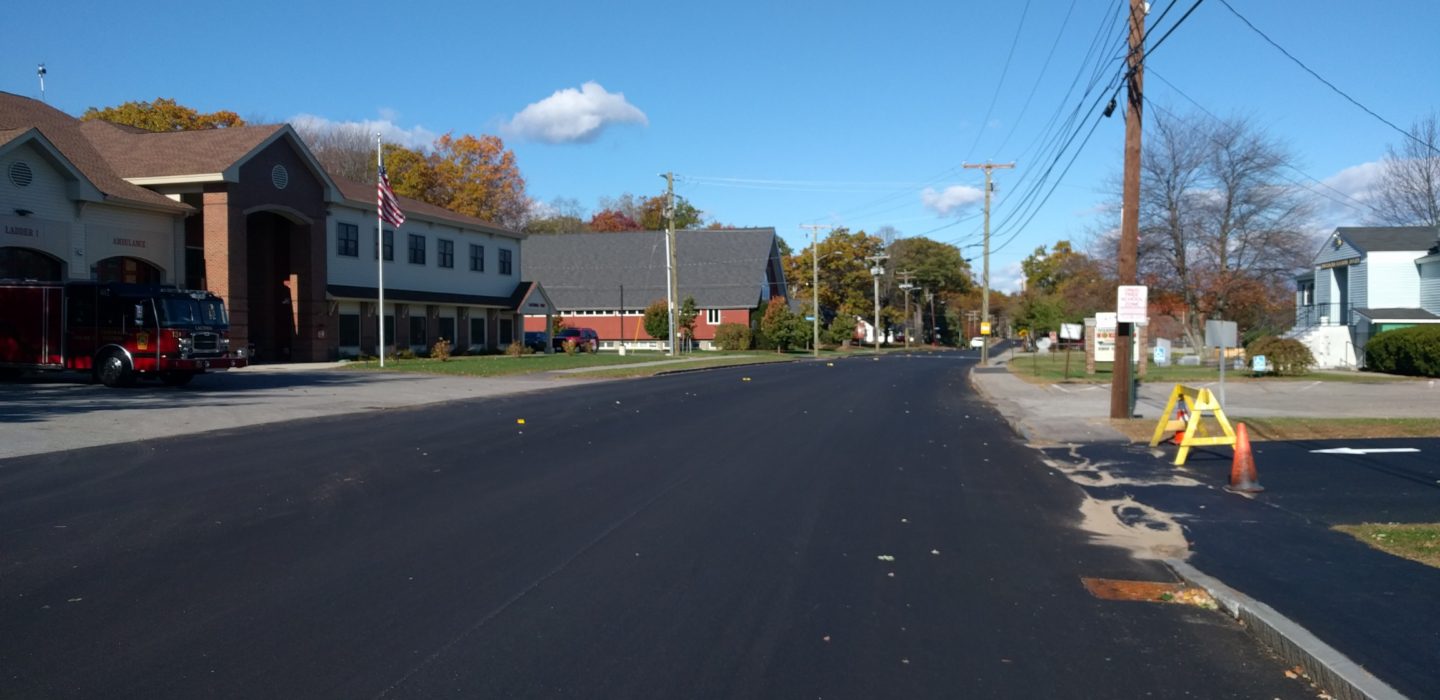
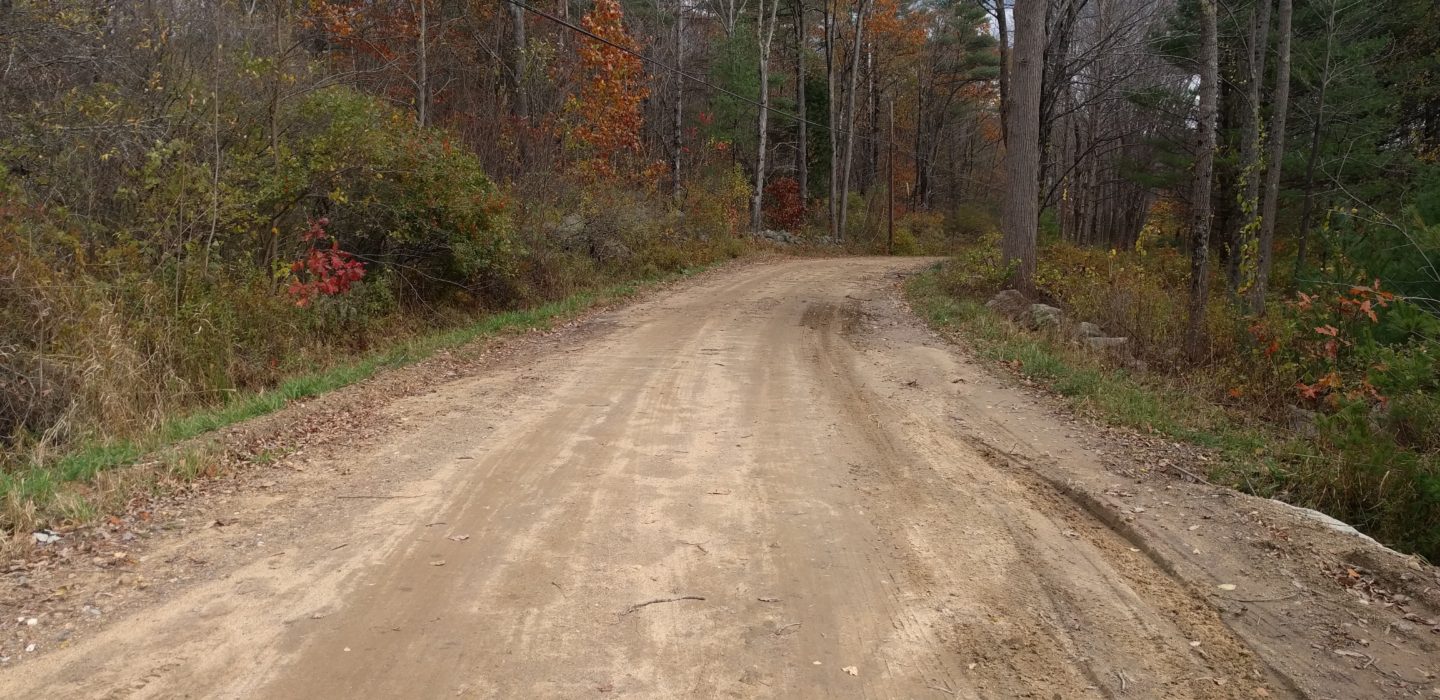
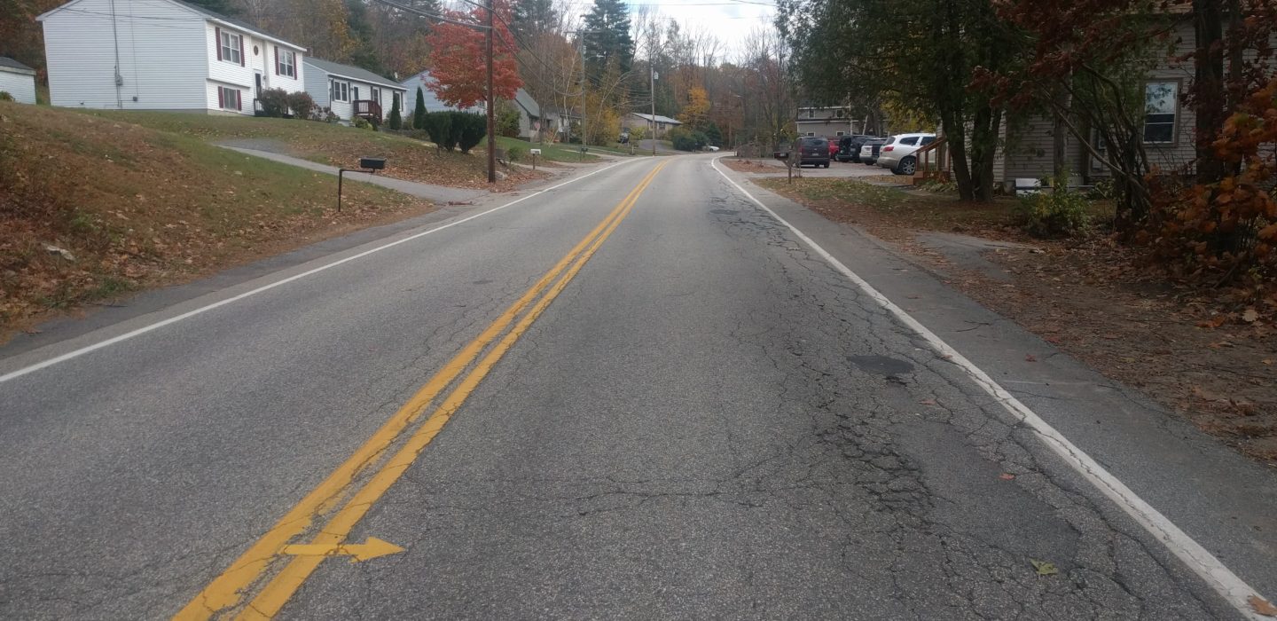
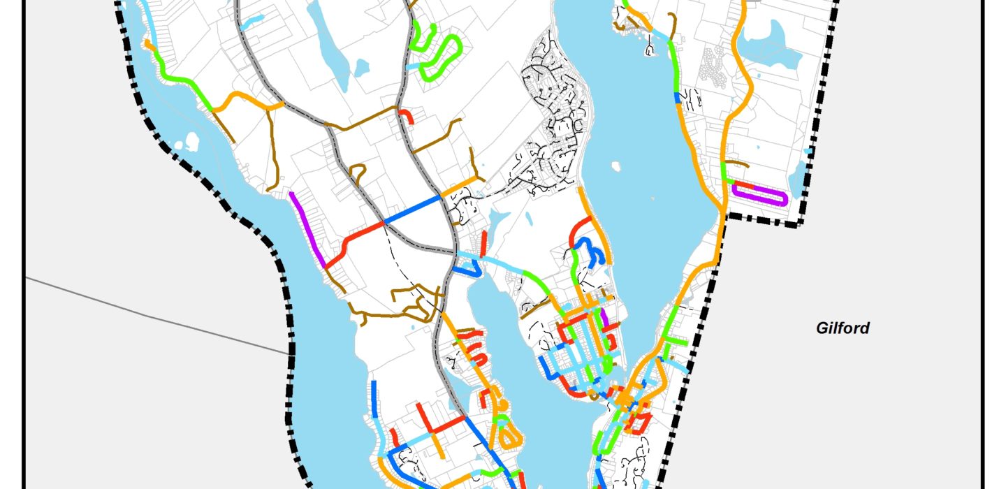
BETA’s GIS/Asset Management team was retained by the City of Laconia in 2016 to develop a Pavement Management Program (PMP) of its City-maintained roadway network. The program was developed utilizing ESRI GIS-based tools with the State of New Hampshire’s road centerline file serving as the foundation to establish the mapping and planning for this project. The program included a pavement condition assessment on roughly 80 centerline miles utilizing a manual data collection methodology. 0-100 Road Surface Ratings (RSR) were assigned to each street segment based on the severity and extent of distresses present to generate a backlog summary of existing conditions and suggested improvements. Upon completion of the inventory, BETA provided the City with its standard set of reports and maps, as well as local access to its database structure for the City to update.
BETA was rehired in 2020 to complete a re-inspection of the City’s roadway network, this time to be completed over the course of two phases. Upon completion of the inventory, BETA provided the City with its standard set of reports and maps, as well as migrated the system to its ManageMyRoads ArcGIS Online based platform. BETA has provided support services to the City since the development of the program in 2016, including capital planning assistance, system maintenance, RSR forecasting, and platform training.