Sandwich-Barnstable-Yarmouth Route 6 Widening Project
Massachusetts Department of Transportation
BETA is working with MassDOT on an important project in the Towns of Sandwich, Barnstable, and Yarmouth to improve safety and resiliency on a critical evacuation route. The project involves widening and resurfacing both eastbound and westbound lanes of Route 6, covering a distance of approximately 10.5 miles. The existing roadway cross section consisted of two 11’ travel lanes with 1’ RT and 1-2’ LT shoulders, which was not sufficient to address the issues faced by the community.
BETA proposed widening the shoulders to provide emergency pull-over capacity and address hydroplaning issues during heavy rain events. The new design cross section includes two 12’ travel lanes with 10’ RT and 4’ LT shoulders, which will make the highway facility more resilient and better capable of shedding rainwater runoff away from the highway’s travel lanes. Stormwater management of the roadway will be improved by eliminating large portions of existing substandard closed-drainage systems, and instead, convey rainwater runoff away from the roadway edges by sheet runoff across the new shoulders to open water quality BMPs (Best Management Practice) treatment measures. Additionally, the project includes replacing bridge railings with current TL-5 Crash Tested Barriers, to further enhance highway safety.
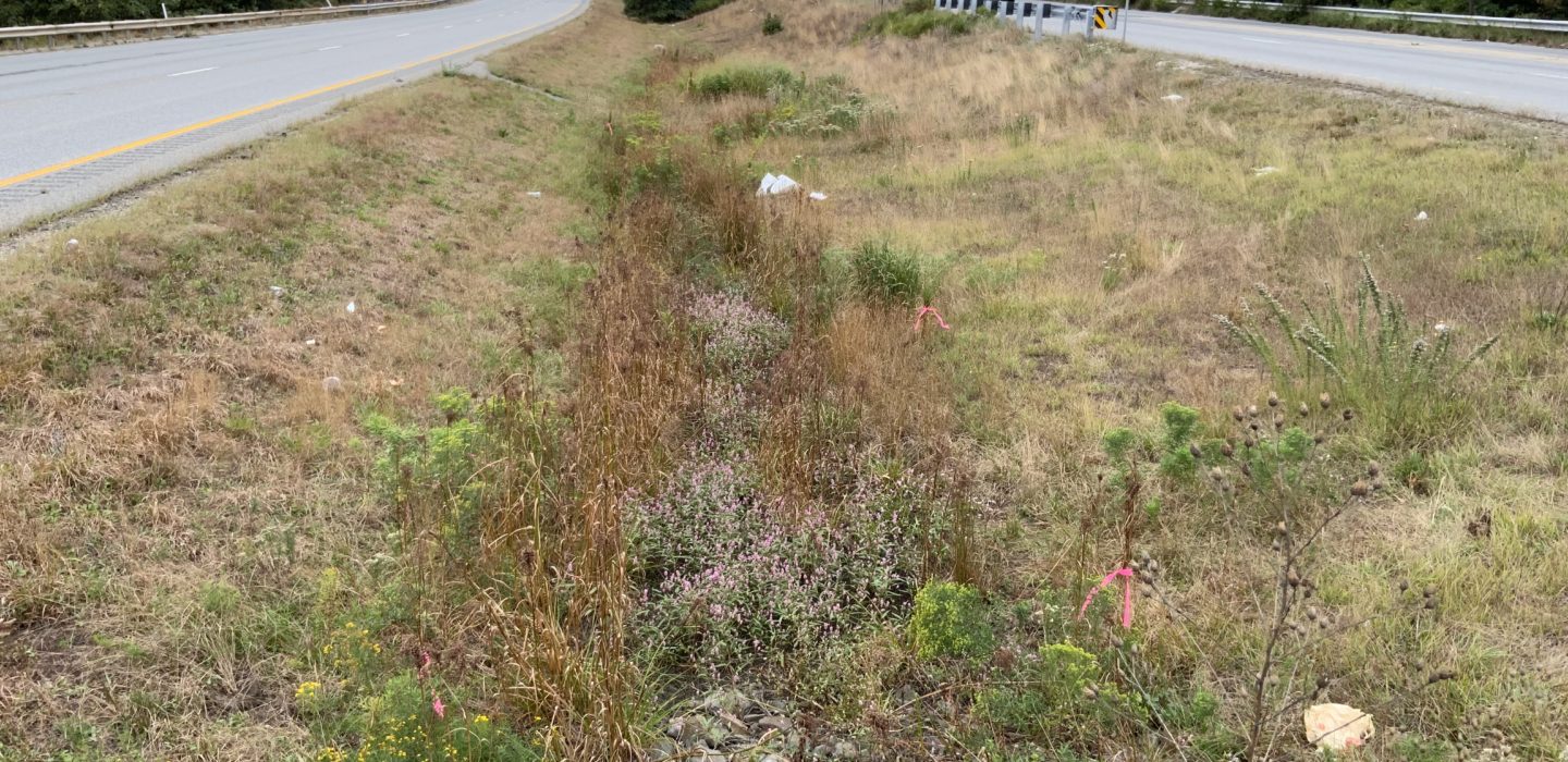
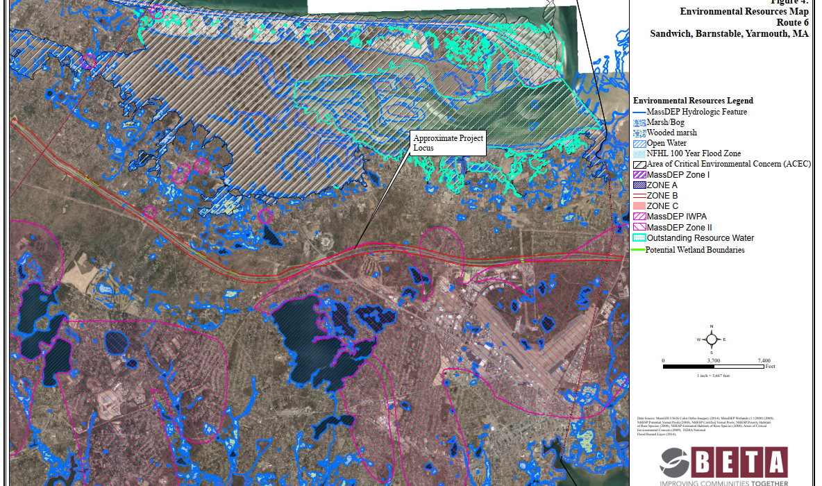
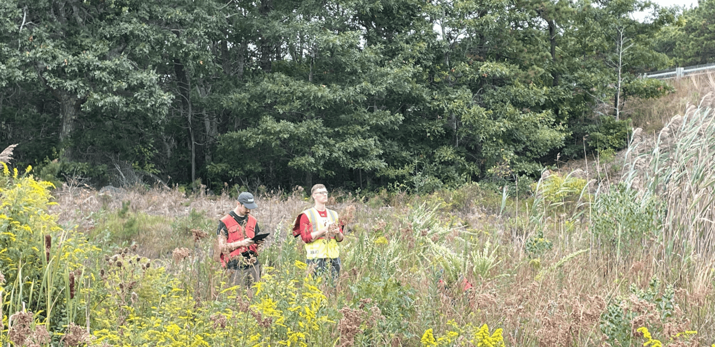
To ensure early design accuracy and to confirm existing conditions, BETA’s wetland scientists conducted a 10.5-mile resource area delineation along both sides of the Route 6 State Highway Layout, including the median. This delineation assessed over 40 linear miles of SHLO for the presence of jurisdictional resource areas. The use of digital data recording and cloud-based GIS data collection software allowed for efficient and accurate data collection in the field. BETA completed this extensive delineation effort ahead of schedule and under budget.
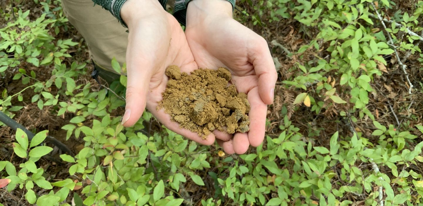
In addition to the resource area delineation, BETA took the opportunity to note existing drainage patterns, vegetative communities, and soil types for future mitigation design. BETA’s reports and field data forms will support the eventual filing of an Abbreviated Notice of Resource Area Delineation with the Conservation Commissions of each of the three towns to confirm the location of wetlands and provide security for the project design.
Overall, BETA’s work on this project will provide a safer and more resilient roadway for the communities, improving their quality of life and increasing their confidence in the ability to evacuate in times of emergency.


