Ten Mile River Study Phase I – Preliminary Investigation and Report
North Attleboro, Massachusetts
The Town of North Attleboro, through the Ten Mile River Committee, retained the services of BETA to conduct a preliminary study of the Ten Mile River. Services included researching historic documents, investigating existing structural and sediment conditions along the river, studying Falls Pond dam functions, as well as exploring possible permitting and funding opportunities. The community was involved by distributing a survey to those living near the river to gain a first-hand knowledge about the location and severity of flooding experienced.
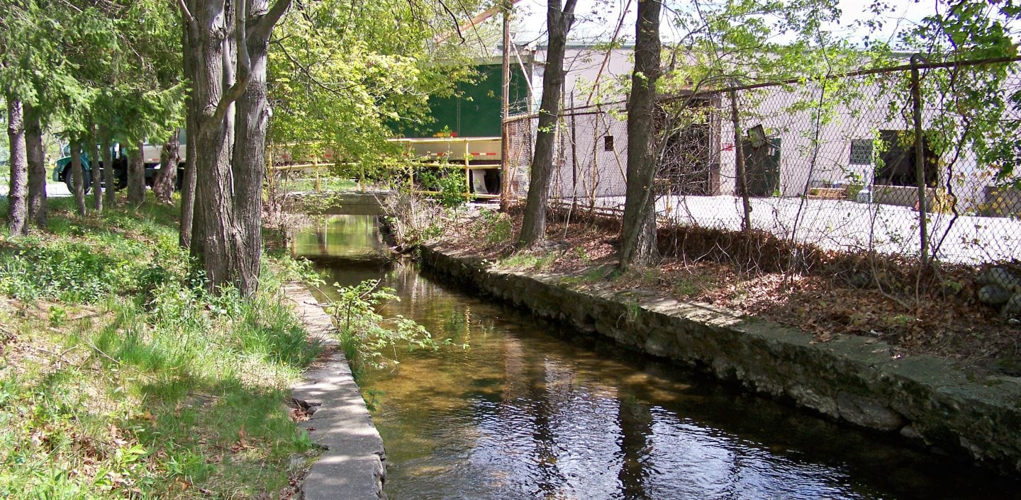
BETA assessed 9,400 feet of the river, from Whiting Pond Dam to the outlet at Falls Pond, at an interval of about every 100 feet, recording data and photographing the conditions of structures including retaining walls, culverts, bridges and utilities as well as estimating the depth of sediment. Cross-sectional measurements were used to generate an approximate profile along the entire section of river.
BETA met with the Town to understand existing operating procedures at both dams as well as performed a discharge analysis at Falls Pond dam. BETA created an easy to use table and graph to allow the Town to estimate gate settings at Falls Pond dam in anticipation of storm events.
BETA proposed short and long term recommendations to restore the river and increase storage capacity and potentially reduce localized flooding. Short term recommendations include investigating the installment of a bypass weir near Whiting Pond, developing a HEC-RAS model, and removing sediment in heavily deposited areas. For long term, a multi-phased river restoration effort is recommended, estimated at $14 million.