Commonwealth Avenue Rehabilitation (CAP 1)
Boston and Brookline, Massachusetts
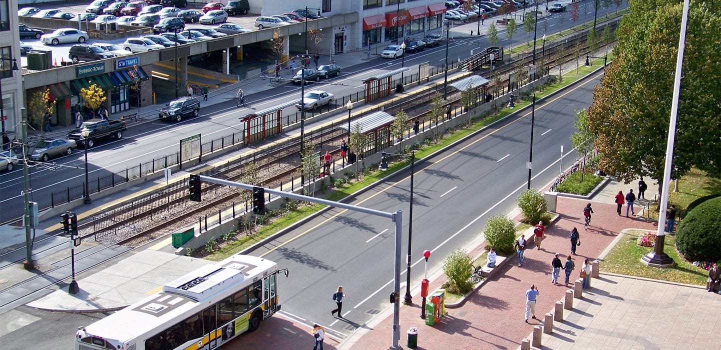
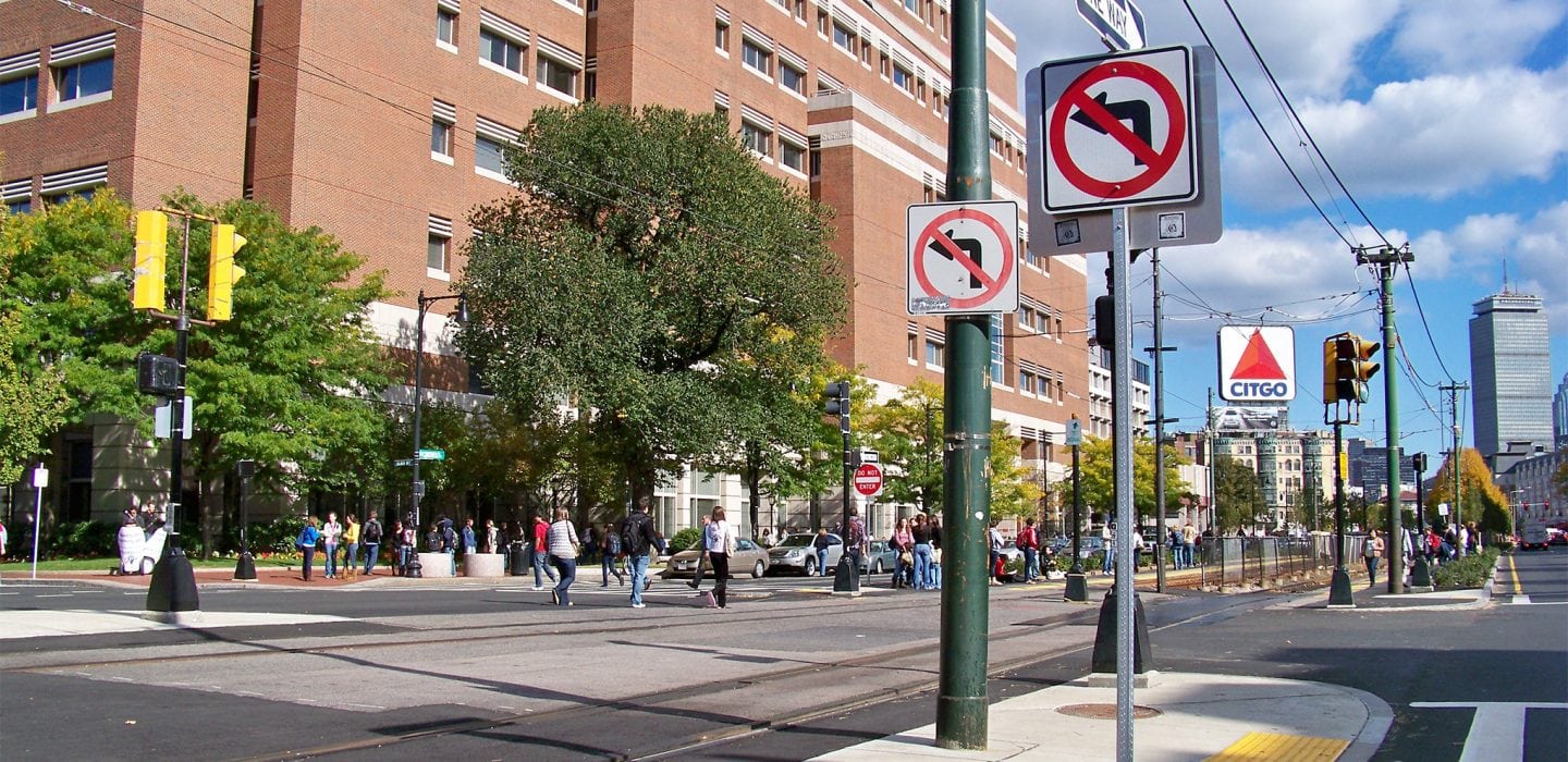
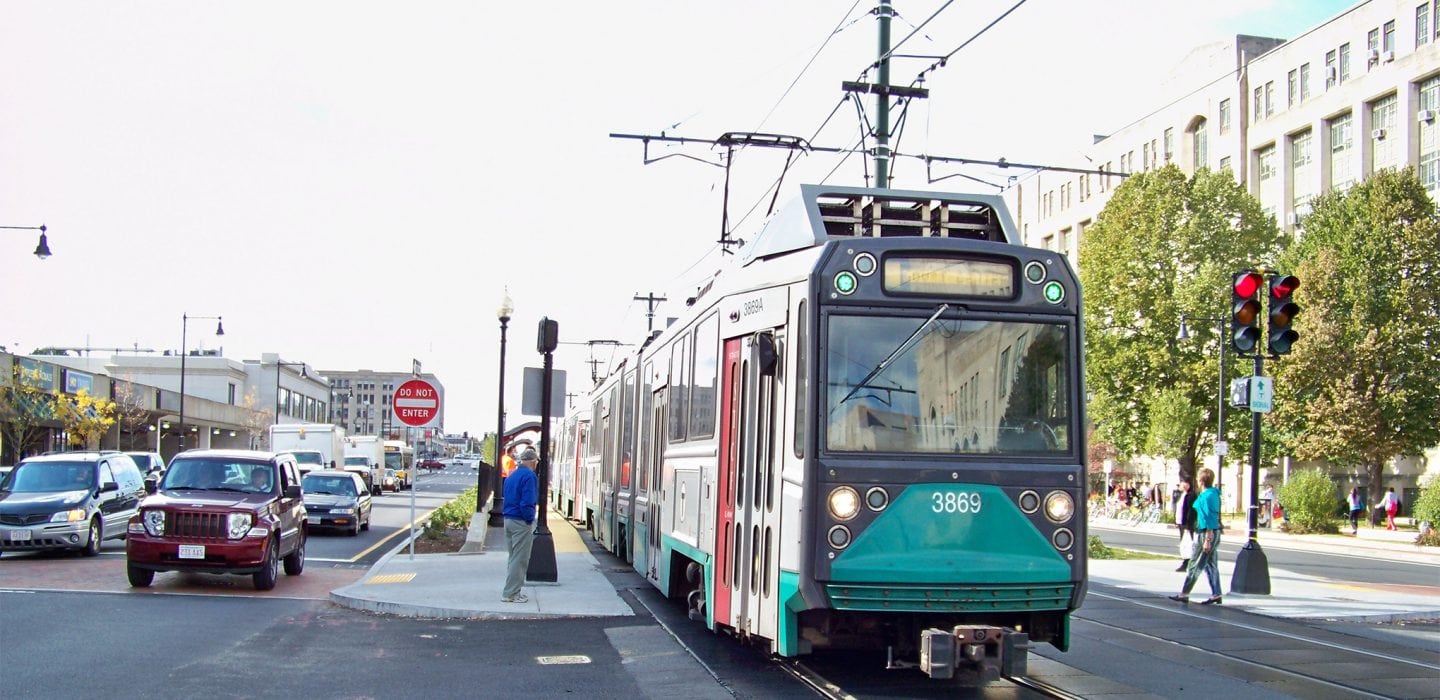
Commonwealth Avenue is a very important and distinctive multi-lane arterial that runs from the Boston Common and Public Garden to I-95 in Newton, MA. BETA was retained by the City of Boston to design improvements over several segments of the corridor. Phase 1 extends from Kenmore Square to a point just past the Boston University Bridge, a distance of 0.8 miles. The cross section of the segment includes the MBTA’s Green Line Trolley located within the median. This segment has significant adjacent lane uses, including major facilities belonging to the Boston University campus.
The project included comprehensive roadway, pedestrian, bicycle, traffic, and streetscape improvements. The design had to be sensitive to all the modes of transportation that use this corridor on a regular basis. The corridor carries 34,000 vehicles per day including numerous stops from the MBTA Trolley Line which requires interactive traffic controls and causes operational complications. Also, there are extremely high levels of pedestrian and bike activity, particularly given the presence of Boston University.
The project included the upgrade of six signal locations including phasing, detection, and indications for the Green Line Trolley. The design also required the interconnection of signals with the central computer at the City Hall. This was done in addition to a backup system consisting of a master controller with closed-loop capabilities, in case of central systems failure.
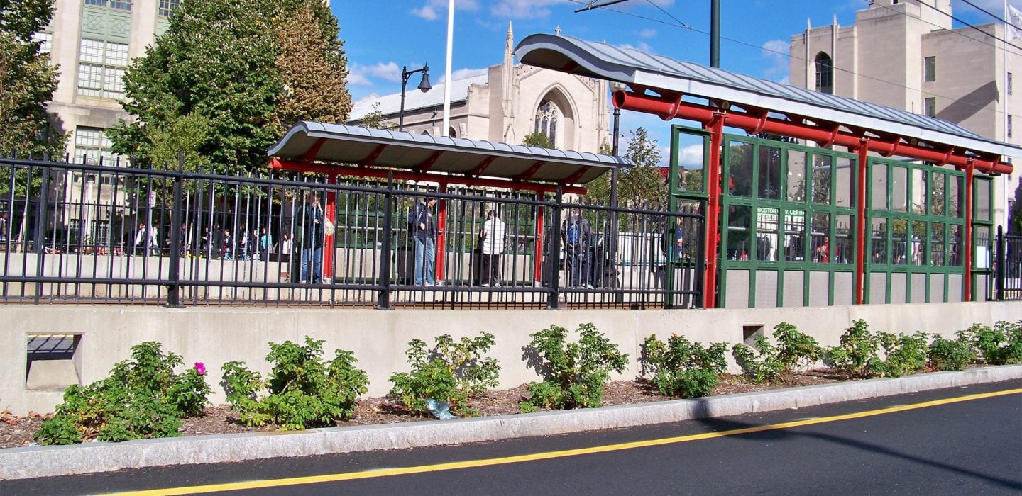
The integration of urban design features was an important consideration. The MBTA Reservation was widened to provide additional green space and extensive landscaping, and there are significant streetscape amenities within the sidewalks. Bicycle lanes are provided where possible.
The project required extensive coordination with the City, BRA, BTD, BWSC, MassDOT, MBTA, MTA, and Boston University.
