MADEP Statewide Watershed-Based Planning
Statewide, Massachusetts
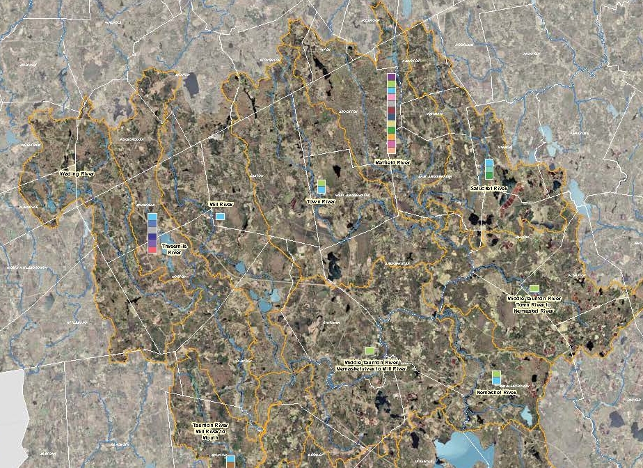
BETA developed a web-based inventory and reporting tool for MADEP to develop a Watershed-Based Planning Initiative. The user-friendly tool was designed to support each of the 27 major drainage basins in Massachusetts. The major basins have been divided into sub watersheds whose boundaries are defined by USGS 12-digit hydrologic unit codes (HUC). As outlined in Section 319 of the Clean Water Act and the Nonpoint Source Program and Grants Guidelines for States and Territories (Guidelines), EPA required that a WBP be developed as a prerequisite for funding future 319 projects. Watershed Based Plans developed under this project will contain the nine specific elements outlined in the guidelines established by EPA.
The State of Massachusetts has long been at the forefront of watershed-based planning and accordingly, an abundance of information has been compiled for watersheds throughout the state. Wherever possible, Massachusetts Watershed-Based Planning will incorporate existing information from other documents, such as various state and local watershed planning documents or watershed plans. Where data gaps exist, modeled estimates will be provided to address the gaps. The resulting Watershed-Based Plan will be designed to achieve the load reductions called for in a Non Point Source Total Maximum Daily Load, and, in doing so, will be designed to meet water quality standards.
The final MA WBP is a compendium of Watershed Based Plans, one for each of 27 major Massachusetts basins, each organized by HUC- 12 subwatershed and presented in electronic format via web-enabled GIS mapping and reporting tools. Each WBP consists of a summary of references and sources with citations for each piece of information that comprises the WBP, with associated technical memos identifying data gaps, estimates to complete missing information, description of the strategy and time line for addressing data gaps.


