Sewer and Stormwater System Mapping
Bristol, Rhode Island
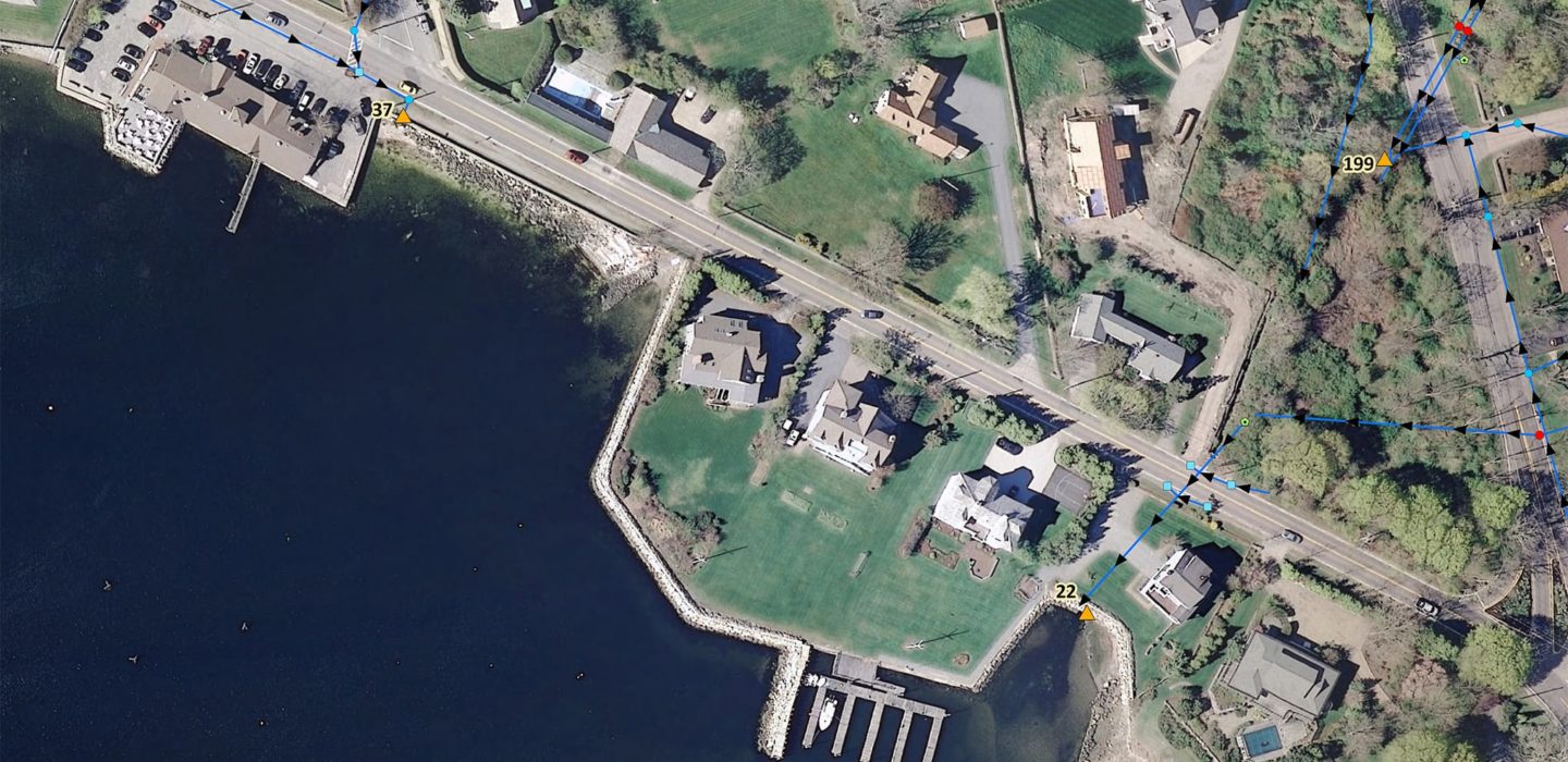
The Town of Bristol retained BETA to develop town-wide planimetric base mapping and stormwater system mapping as part of the NPDES Phase II requirements.
As part of this effort, town-wide 40-scale mapping and development of a Geographic Information System (GIS) datalayer of the municipal wastewater and stormwater collection systems was created in ESRI Geodatabase format.
The mapping process included a complete inventory of system features (i.e., manholes, pipes, outfalls, etc.). All structures were located and inspected using sub-foot GPS technology. Inspections and sampling of the entire municipal stormwater discharges were included in the scope, as well as development of best management practices (BMPs) to improve stormwater quality and reduce pollution to the surface wasters in Bristol.
